← All work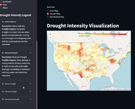
Earth data · Applied AI
Farmvis
A NASA Space Apps team project that translates Earth observation data into map-based insights for farmers.
Farmvis interface from my original portfolio
The idea
Farmvis brings soil moisture, drought, flooding, and climate risks into an interface tailored to a farm. The goal is to make environmental data easier to explore and act on.
The build
Our team combined NASA Earth observation data, spatial processing, and an interactive mapping interface. The project used Python, Streamlit, Geopy, and spatial clustering.
Recognition
Farmvis received a Global Honorable Mention in the 2024 NASA Space Apps Challenge, following a first-place finish in Houston.